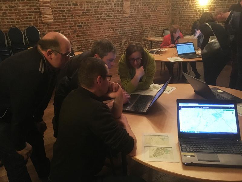
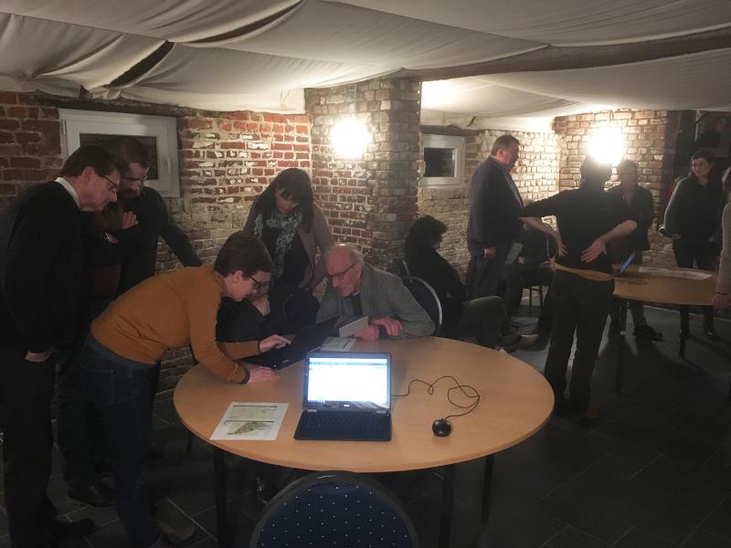
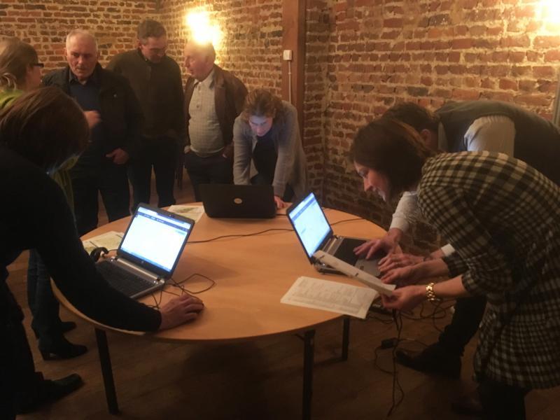
Mid-February, farmers and other interested people were invited for the presentation of the WaterProtect web tool at the Belgian Action Lab Bollaertbeek. This is an online application that maps out in detail all the measurement results of the surface water in the catchment area. It provides farmers with a quick and easy overview of the results in the vicinity of their farm. The tool could help them to take appropriate measures for the protection of the local drinking water resources.

Faster communication of the measurements of residues from crop protection agents in the Bollaertbeek is important. This issue has been brought up numerous times during meetings in most of the WaterProtect action labs. Web tools that present the measurement results faster to all involved actors are therefore an important part of the project approach.
In a visually attractive way, the Waterprotect app offers an overview of the residues of 40 plant protection products and the link with all local crops. At the same time the link with possible runoff and the impact of rainfall is being visualized.
Depending on the results, farmers could then take results such as buffer strips near the water, sowing of cover crops or taking measures for environment friendly filling and cleaning of the spraying tools.
Discover the webtool on this link www.inagro.be/bollaertbeek and click on ‘Applicatie’